Geospatial Big Data Analytics: Opportunities and Challenges
Symposium website: http://sdss2021.spatial-data-science.net/
Note: the schedule below is tentative. The final program will be posted on Symposium website soon.
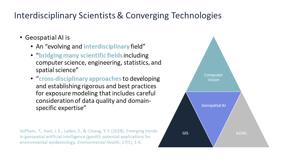
Spatial and temporal thinking is important because everything happens at some places and at some time, and understanding where and when things happen help us analyze how and why they happened or will happen. Spatial data science is concerned with the representation, modeling, and simulation of spatial processes, as well as with the publication, retrieval, reuse, integration, and analysis of spatial data. It generalizes and unifies research from fields such as geographic information science/geoinformatics, geo/spatial statistics, remote sensing, environmental studies, and transportation studies, and fosters applications of methods developed in these fields to other disciplines ranging from social to physical sciences.
Data-driven methods, such as machine learning models, have been attracting attention from the Geoscience community for the past several years. For instance, they have been successfully used to quantify semantics of place types, to classify geo-tagged images, to predict traffic and air quality, to improve resolution of remotely sensed images, and among others so on. In contrast to non-spatial information, geospatial information may be vague, uncertain, heterogeneous, and multimodal; thus spatial and temporal thinking should be included in techniques such as deep neural networks. For example, there are many questions to be explored: Whether a larger amount of data can compensate for the lack of spatial and temporal thinking; how large a role spatial and temporal thinking play in such data-driven methods; how to integrate data-driven methods with theory-driven methods, such as agent-based modelling; how to represent spatial and temporal knowledge to facilitate efficient reasoning; and how to take spatial uncertainty into the model.
With these questions in mind, the Center for Spatial Studies at the University of California, Santa Barbara plans to host the 2nd Spatial Data Science Symposium virtually this year with a focus on “Spatial and Temporal Thinking in Data-Driven Methods.” The symposium aims to bring together researchers from both academia and industry to discuss experiences, insights, methodologies, and applications, taking spatial and temporal knowledge into account while addressing their domain-specific problems. The format of this symposium will be a combination of keynotes, scientific sessions, as well as paper presentations. We welcome submissions for both papers and sessions.
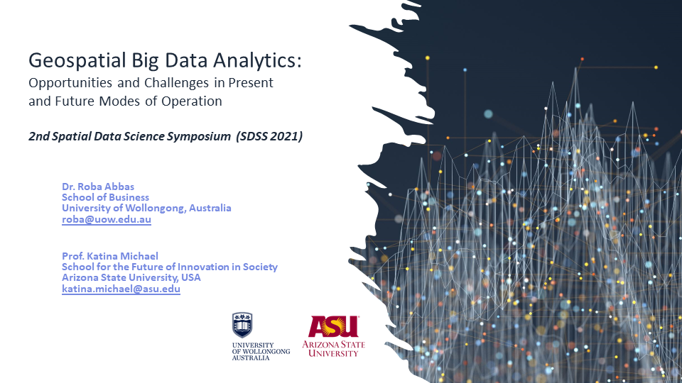
Title: Geospatial Big Data Analytics: Opportunities & Challenges in Present & Future Modes of Operation
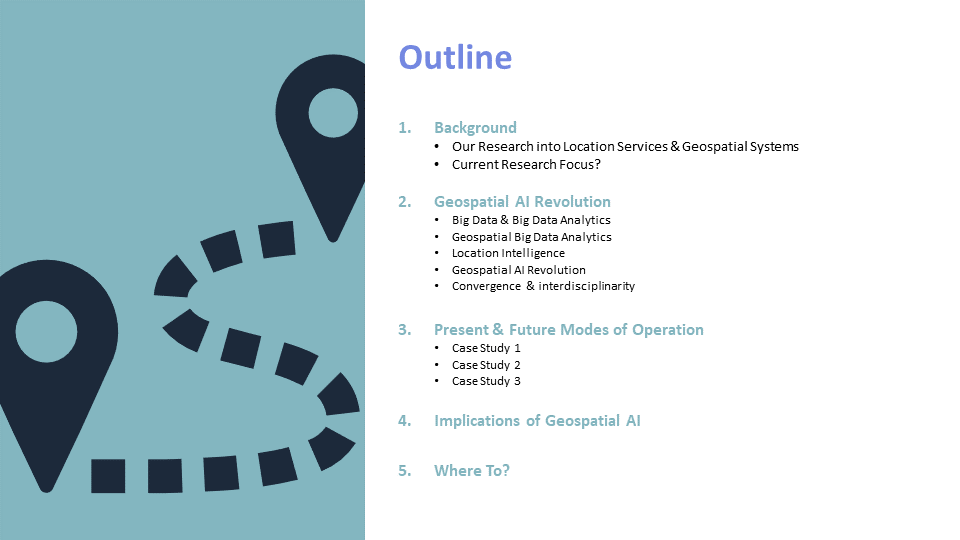
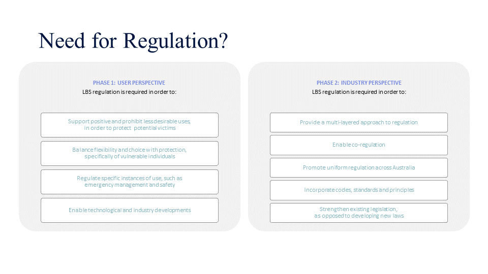
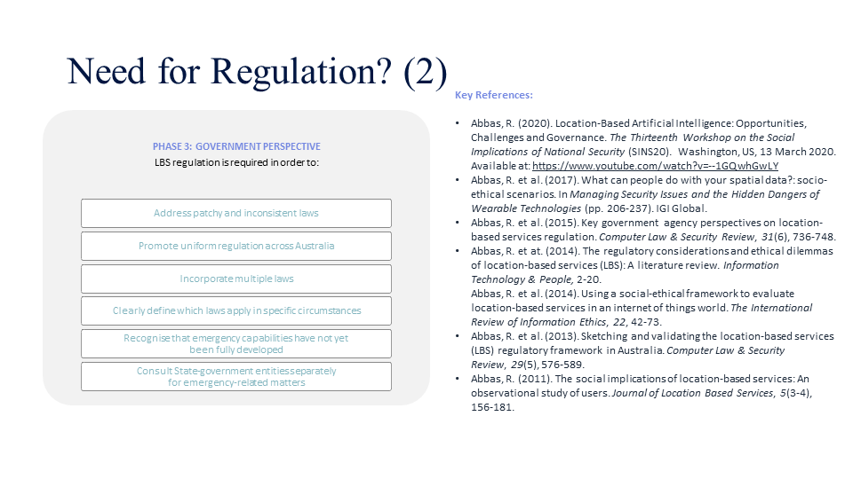
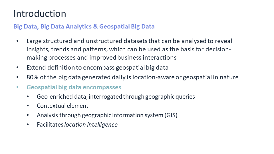
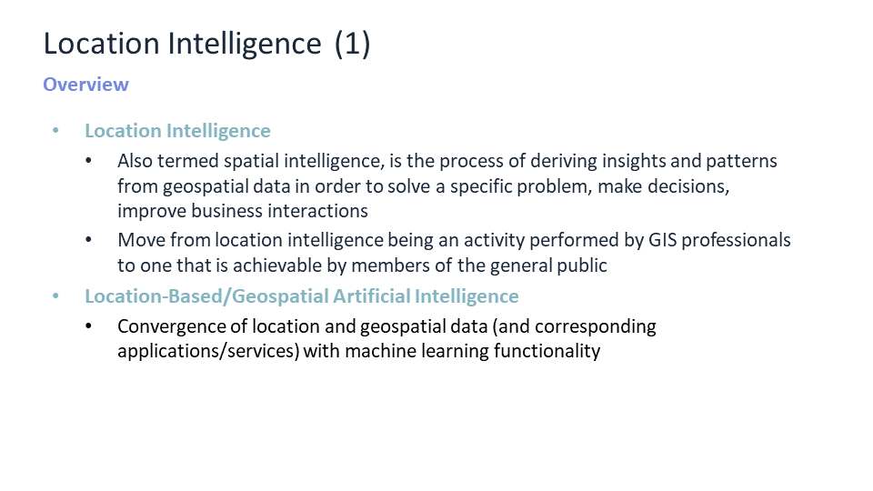
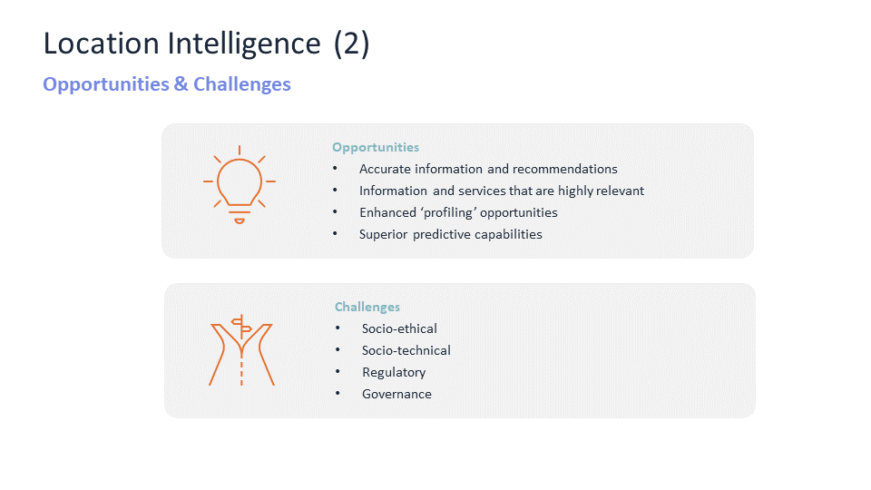
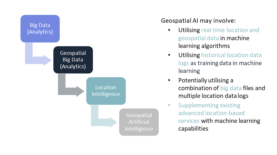
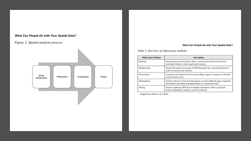
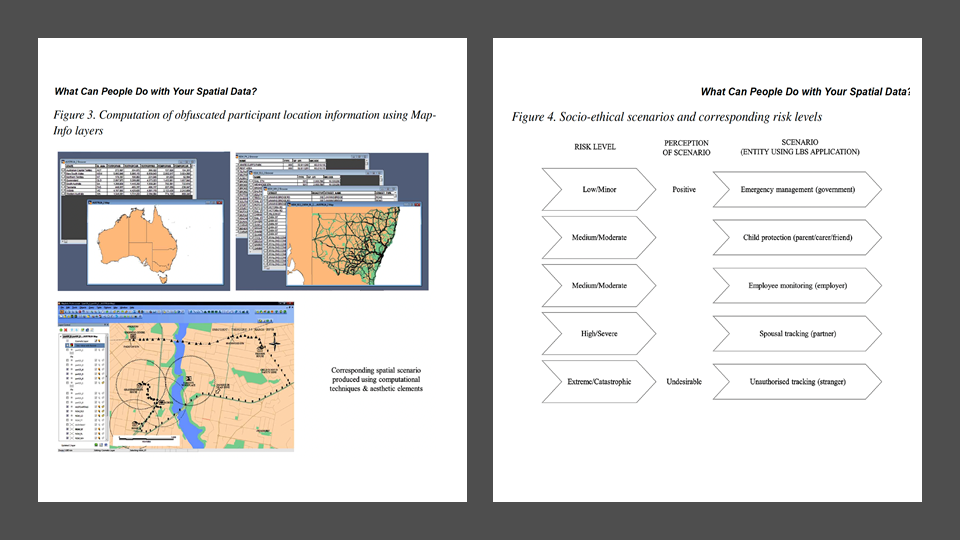
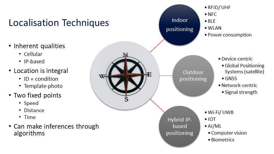
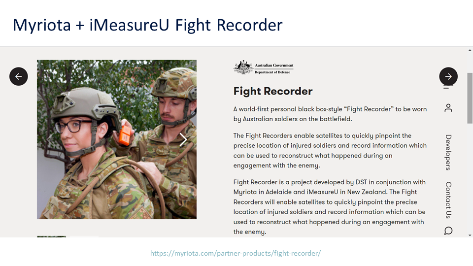
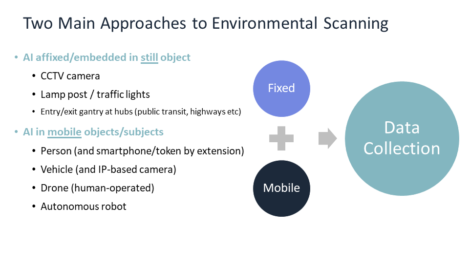
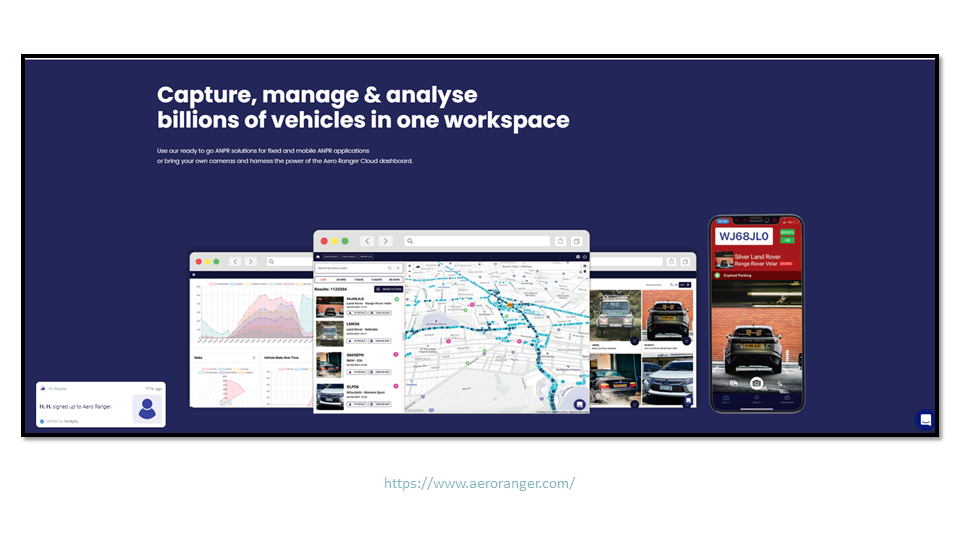
Abstract: Big data and big data analytics have emerged as prevalent topics today in business and academia, promising a wide range of benefits and insights generated through the analysis of vast and varied datasets. The potential to create an enhanced understanding of consumer and corporate opportunities, through the extraction of trends and patterns, results in many business opportunities but also presents numerous challenges. Increased emphasis is now being placed on the use of geospatial datasets extracted from location-based services to supplement big data derived from other sources. Geospatial big data refers to “geo-enriched” data; that is, data that is supplemented with a geographic component, and when contextualised, layered with additional levels of detail, and analysed, provides some form of “location intelligence”. This talk will reflect on the opportunities and challenges of location intelligence, drawing out the ethical considerations relevant to both present and future modes of operation. GIS is no longer simply bounded by satellite and aerial photography geotagged with demographic market data; rather it has become an integral part of Artificial Intelligence and Machine Learning algorithms, resulting in the fusion of human-centered data for the prediction of behavioural patterns and trends through a variety of operational scenarios facilitated by a variety of emerging technologies inclusive of IOT, biometrics, location-enabled apps, and augmented reality.
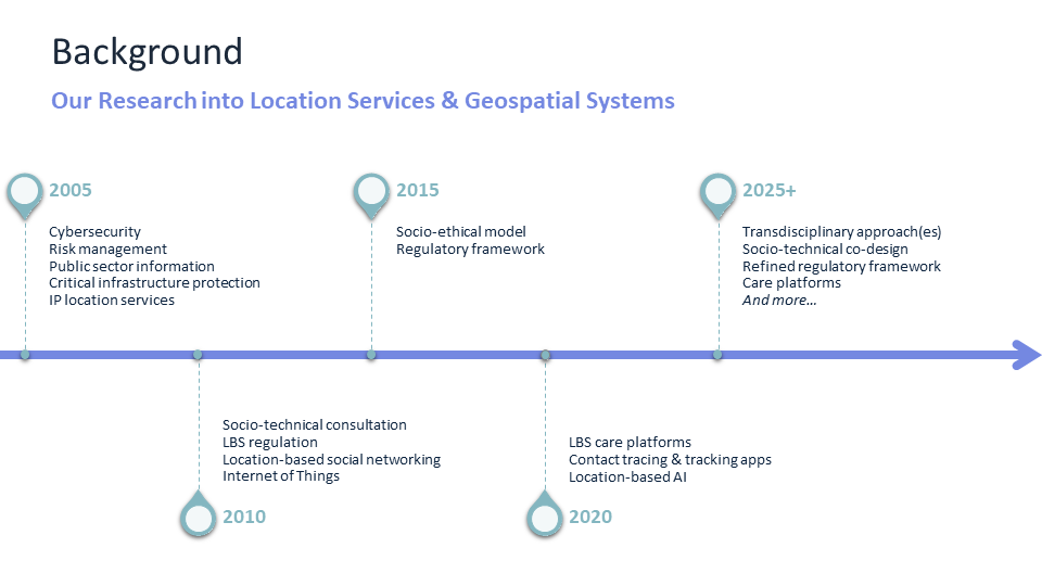
Roba Abbas is a Lecturer and Academic Program Director with the Faculty of Business and Law at the University of Wollongong, Australia. She has a PhD in location-based services regulation and has received competitive grants for research addressing global challenges in areas related to co-design and socio-technical systems, operations management, robotics, social media and other emerging technologies. Her current research interests include methodological approaches to complex socio-technical systems design. More recently, she has delivered talks and co-organized panels for Yale University, The Alan Turing Institute, the American Association for the Advancement of Science (AAAS), Arizona State University and Ostfalia University of Applied Sciences. Dr Abbas is Co-Editor of the IEEE Transactions on Technology and Society and was the Technical Program Chair for the IEEE International Symposium on Technology and Society (ISTAS20) hosted by Arizona State University in November 2020. From 2005 to 2010, she was a Product Manager with Internetrix, Wollongong.
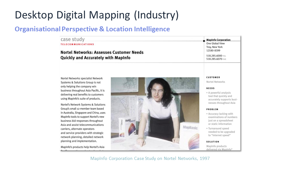
Katina Michael BIT, MTransCrimPrev, PhD is a professor at Arizona State University, a Senior Global Futures Scientist in the Global Futures Laboratory and has a joint appointment in the School for the Future of Innovation in Society and School of Computing and Augmented Intelligence. She is the director of the Society Policy Engineering Collective (SPEC) and the Founding Editor-in-Chief of the IEEE Transactions on Technology and Society. Katina is a senior member of the IEEE and a Public Interest Technology advocate who studies the social implications of technology. While at Nortel Networks working as a pre-sales telecommunications engineer she was a major user of geodemographic data for customer market and services demand toward network dimensioning and business planning. Previously at the University of Wollongong she was also the Program Director of the IP Location Services Programme, funded by the Australian Research Council on Location-Based Services Regulation in Australia. Katina has consulted to various government agencies in both a paid and unpaid capacity, and holds several positions on boards, including the Council on RFID, IEEE SSIT, the Australian Privacy Foundation. In 2020 she received the ICTO Golden Medal for lifetime achievement award for exceptional contributions to research in information systems. In 2017, she also received the Brian M. O'Connell Society on the Social Implications of Technology (SSIT) Distinguished Service Award. www.katinamichael.com
Citation: Roba Abbas and Katina Michael, “Geospatial Big Data Analytics: Opportunities & Challenges in Present & Future Modes of Operation”, in Krzysztof Janowicz, 2nd Spatial Data Science Symposium, 13-14 December 2021, University of California, Santa Barbara, USA [virtual keynote].
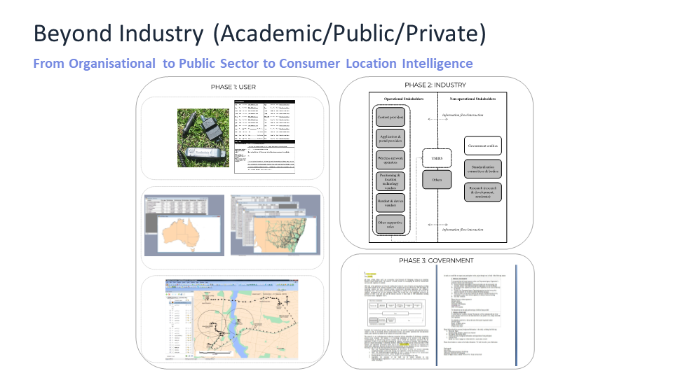
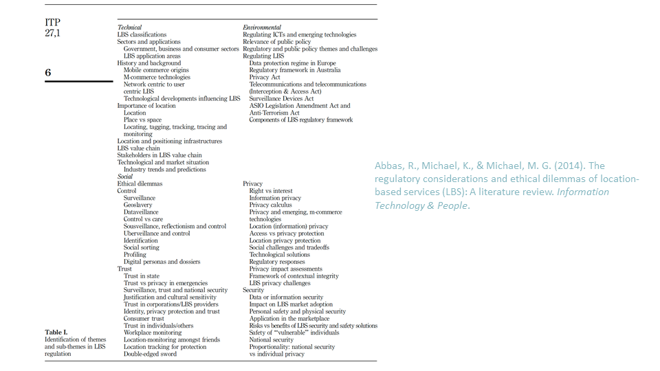
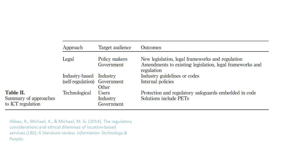




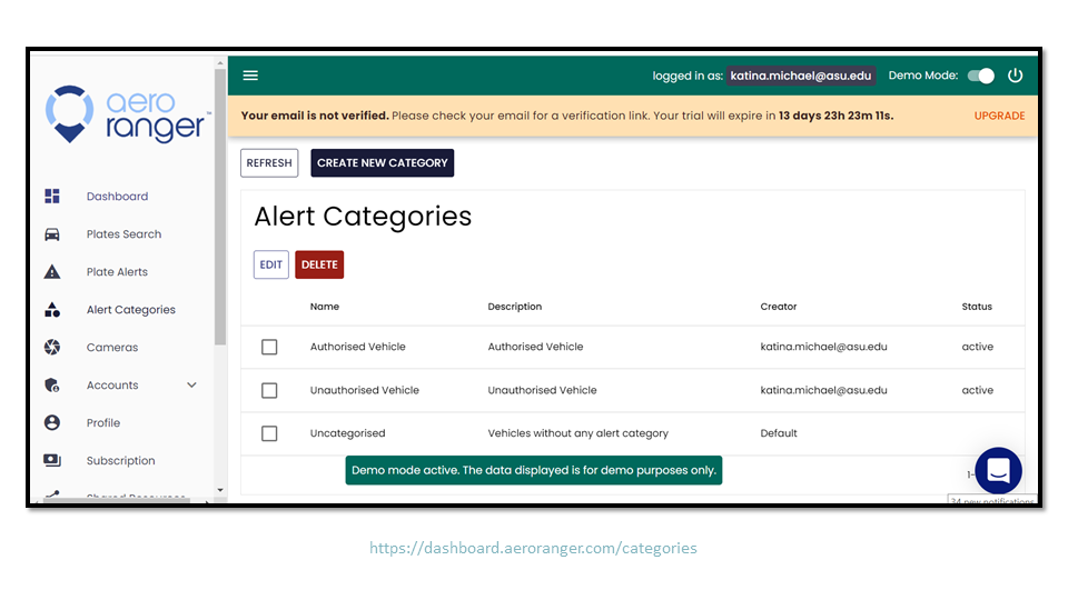
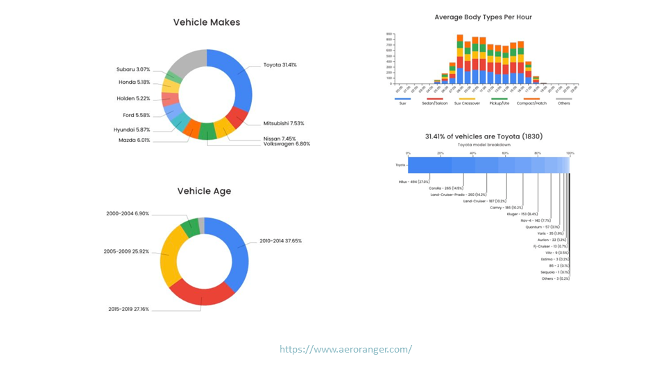
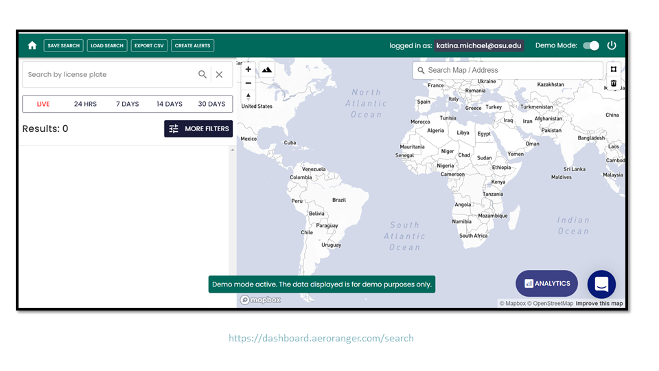
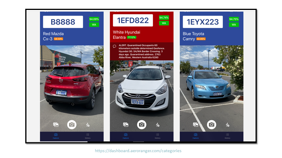
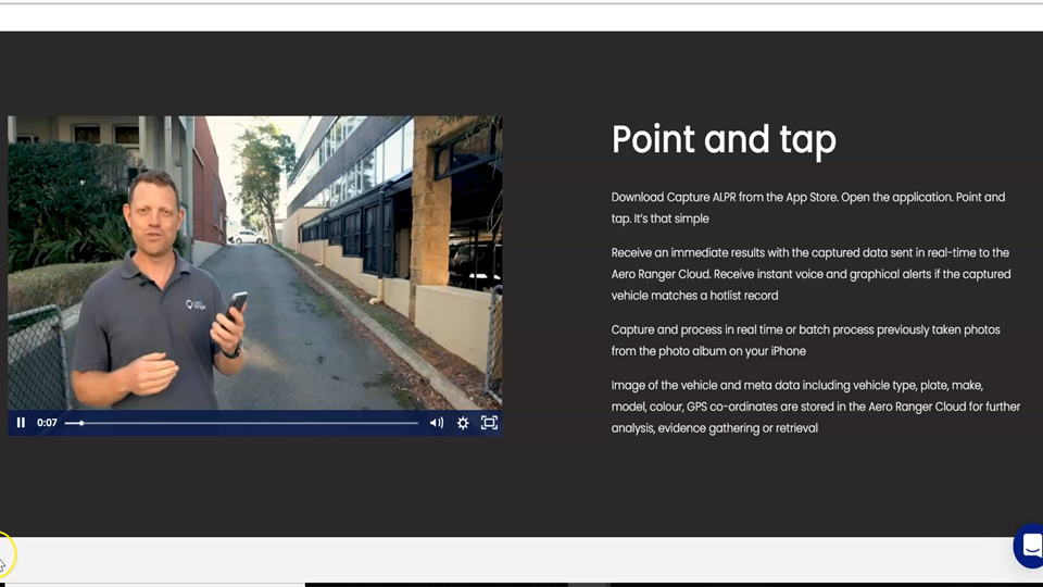
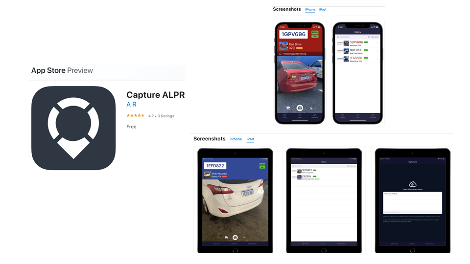
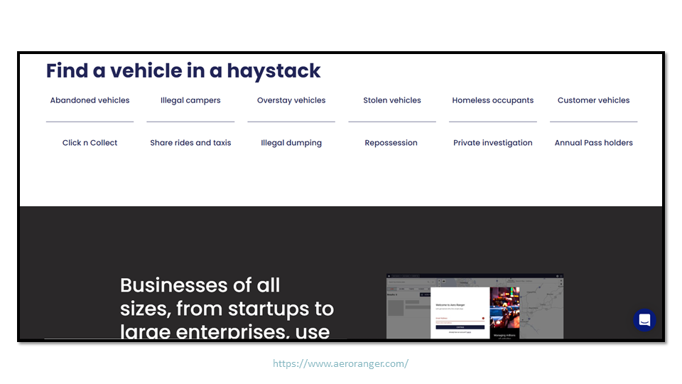
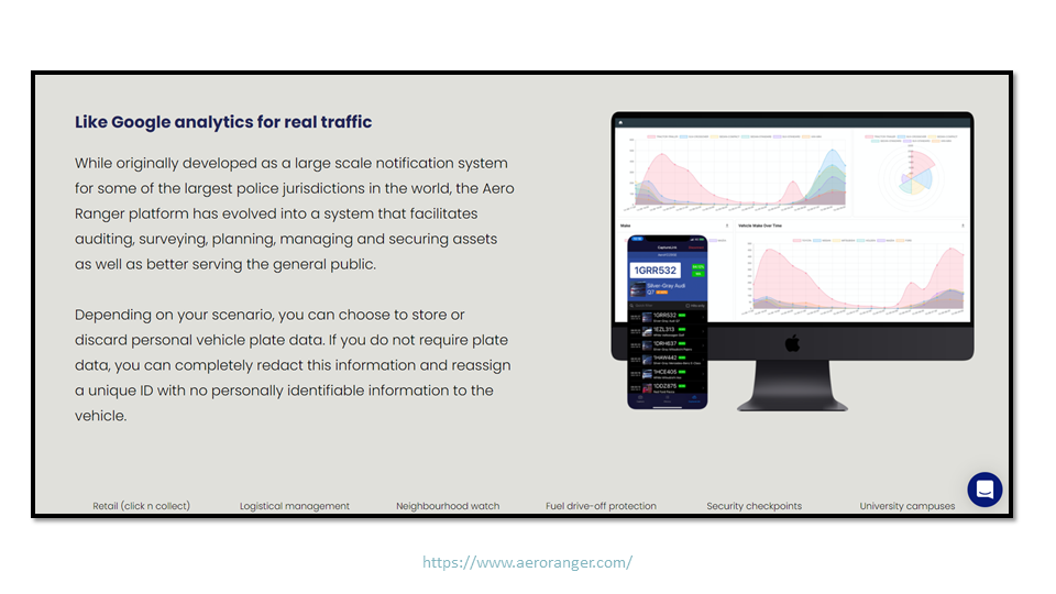

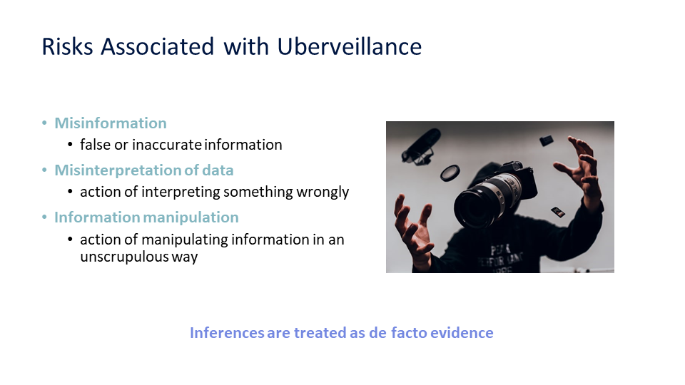
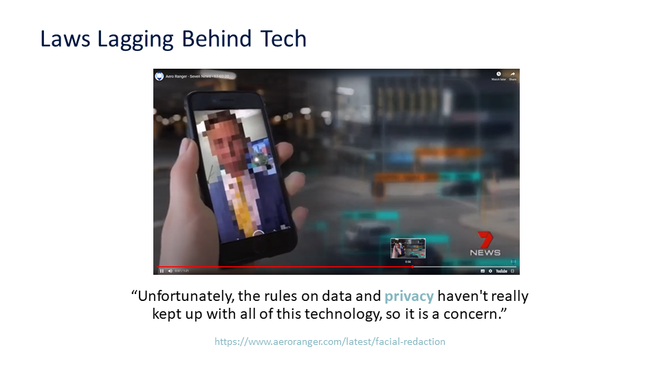
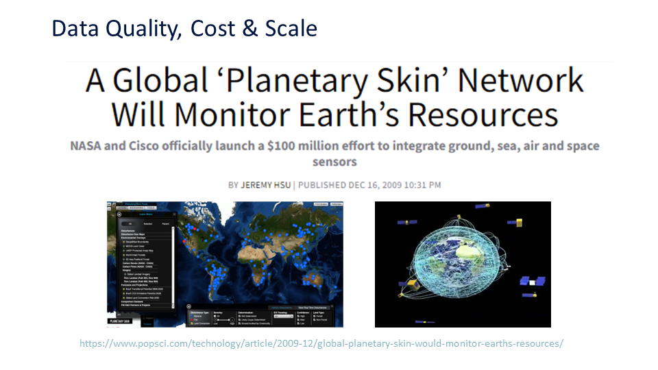


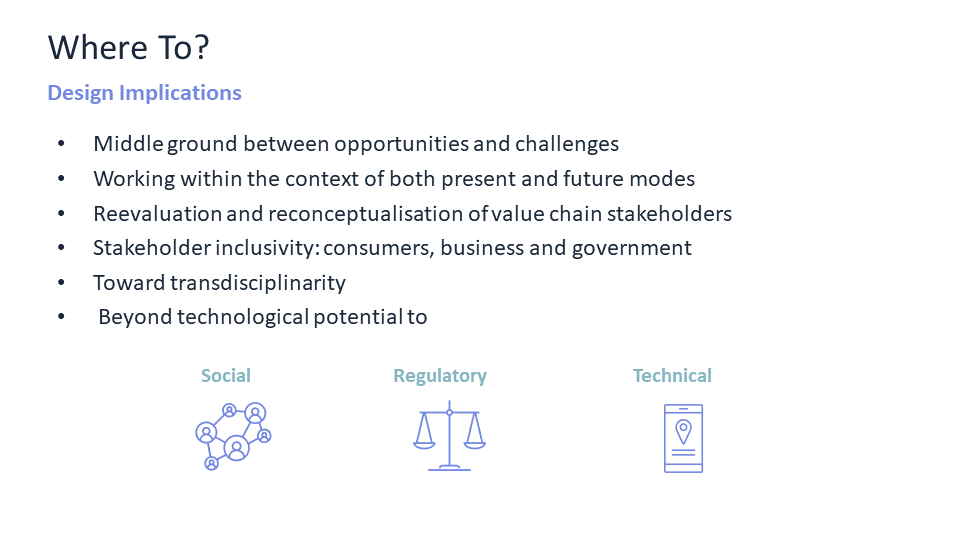

Original Brief: issues of data ethics, considerations about the impacts of location technology, privacy
Original call for papers: https://easychair.org/cfp/The-2nd-SDSS
Space and time matter not only for the obvious reason that everything happens somewhere at some time, but because knowing where and when things happen is critical to understanding why and how they happened or will happen. Spatial data science is concerned with the representation, modeling, and simulation of spatial processes, as well as with the publication, retrieval, reuse, integration, and analysis of spatial data. It generalizes and unifies research from fields such as geographic information science/geoinformatics, geo/spatial statistics, remote sensing, environmental studies, and transportation studies, and fosters applications of methods developed in these fields to other disciplines ranging from social to physical sciences.
Data-driven methods, such as machine learning models, have been attracting intensive attention from Geoscience community for the past several years. For instance, they have been successfully used to quantify semantics of place types, to classify geo-tagged images, to predict traffic and air quality, to improve resolution of remotely sensed images, and so on. In contrast to non-spatial information, geospatial information is often vague, uncertain, heterogeneous, and multimodal; thus certain spatial and temporal thinking must be adapted to generic advanced techniques such as deep neural networks. For example, there are still questions to be explored: Whether a larger amount of data can compensate for the lack of spatial and temporal thinking; how large a role spatial and temporal thinking play in such data-driven methods; how to ingrate data-driven methods with theory-driven methods, such as agent-based modelling; how to represent spatial and temporal knowledge to facilitate efficient reasoning; and how to take spatial uncertainty into the model.
With these questions in mind, the Center for Spatial Studies at the University of California, Santa Barbara plans to host the 2nd Spatial Data Science Symposium virtually this year with a focus on “Spatial and Temporal Thinking in Data-Driven Methods.” The symposium aims to bring together researchers from both academia and industry to discuss experiences, insights, methodologies, and applications, taking spatial and temporal knowledge into account while addressing their domain-specific problems. The format of this symposium will be a combination of keynotes and paper presentations.
Submission Guidelines
We welcome short papers (6 pages) and vision papers (4 pages). All submissions must be original and must not be simultaneously submitted to another journal or conference/workshop. All submissions must be in English. Proceedings of the symposium will be publicly available at well-esablished UC eScholorship and each accepted paper will be assigned with an individual DOI. All papers must be formatted according to LNCS templates. Submissions will be peer-reviewed by the Program Committee. Paper submission should be done via EasyChair: [Link TBA].
-
Short papers (6-page) describe your most recent work where spatial and temporal thinking plays roles and discuss their roles.
-
Vision papers (4-page) describe your vision of the role spatial and temporal thinking plays in data-driven appraoches in GISicence and geography in general.
We are contacting journals to potentially organize a special issue following this event. Selected papers will be invited to submit an extended version to the journal. More details will be announced soon.
List of Topics
-
Spatial and temporal knowledge representation and reasoning
-
Spatial cognition & reasoning
-
Geospatial semantics
-
Geospatial artificial intelligence (GeoAI) & Spatially-explicit machine learning
-
Neuro-symbolic representation learning for spatial and temporal data
-
Geographic information retrieval
-
Geospatial knowledge graphs
-
Spatial statistics / Geostatistics
-
Spatial and temporal data mining
-
Spatial and spatiotemporal data uncertainty
-
Geo-simulation
-
Geospatial applications that use data-driven methods, including but not limited to:
-
Movement analysis
-
Disaster response
-
Environmental studies
-
Geoprivacy
-
Social sensing
-
Location-based services
-
Humanitarian relief
-
Organizing Committees
General Chair:
Krzysztof Janowicz, Center for Spatial Studies, University of California Santa Barbara
Program Chairs:
-
Rui Zhu, Center for Spatial Studies, University of California Santa Barbara
-
Judith Verstegen, Center for Spatial Studies, University of California Santa Barbara
-
Ling Cai, Center for Spatial Studies, University of California Santa Barbara
-
Grant McKenzie, Department of Geography, McGill University
-
Bruno Martins, Instituto Superior Técnico, University of Lisbon
To register free, go here: https://www.airmeet.com/e/52c9e110-4848-11ec-a698-619a9d382b96